On the Dragon Teeth
-

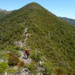
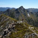
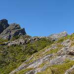
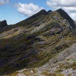
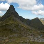
Cairns mark the only path that cross this mountain. Can you see the one on top of this rock? Well, we were a bit puzzled... But it was right: the flat grass was ending and the only way was to climb up the rock.
Kiwis have a minimalistic concept of cairn: it is usually made of just two rocks; they add the third one if it has to be seen from a long distance :-)
Image Manager
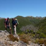
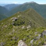
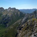
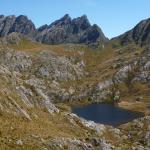
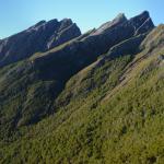
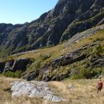
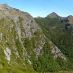
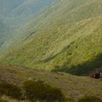
 In the centre of the photo you can see the wooded saddle that was the beginning of the route. From there the path went on at the same altitude... How is it possible? I really don't know!
- - Cover
 |
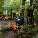
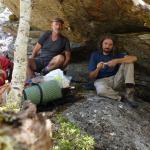
 Lunch break.
- - Cover
 |
 When we got here we though that this was the end of our adventure: from now on just an easy walk...
- - Cover
 |
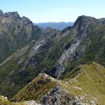
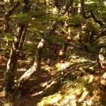
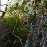
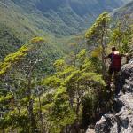
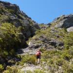
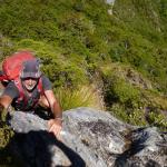
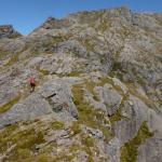
 ...Well it was all but an easy walk: the rocks look smooth from the distance, but when you get there it is a continual climb up, climb down and climb around!
- - Cover
 |
 Cairns mark the only path that cross this mountain. Can you see the one on top of this rock? Well, we were a bit puzzled... But it was right: the flat grass was ending and the only way was to climb up the rock.
Kiwis have a minimalistic concept of cairn: it is usually made of just two rocks; they add the third one if it has to be seen from a long distance :-)
- - Cover
 |
 End of the ridge, we did it! Now we have just to find the trail that leads down in the valley... Kevin is a bit surprised that the trail is not marked on the map.
- - Cover
 |
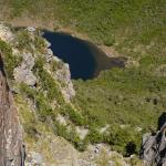
 Yes, that's the valley... But the trail? Where's the trail?
- - Cover
 |
 Surprise: there's no trail! ...And this could be the reason why it is not on the map.
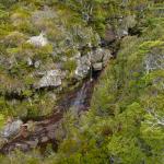
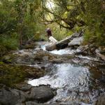
So at 3:30 pm we start an unrestrained climb down, half canyoning in the stream, half bush-bashing.
We meet many deer, but I'm not fast enough to take photos.
- - Cover
 |
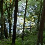
 Climbing down along the stream.
- - Cover
 |
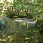
 After 3 hours we are finally in the valley. A magic valley with an emerald green stream that runs among huge trees.
- - Cover
 |
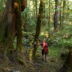
 The forest in the valley.
- - Cover
 |
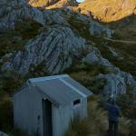
 It is 20:30 when we reach a hut: finally we can relax after 13 hours of restless walking!
Tomorrow only 10 Km of flat trail: we will be at the car at lunch time.
- - Cover
 |
Pages
Status:
- Pubblicato_IT
- Published_EN


